Radar project
For this project, we are to create our own .ppm radar image file from raw
text data. The program used is a modified version
of lookat.c, except: 1) The interactive portion is removed (output is to
file), 2) The color table is altered, and 3) Theta is increased by 90
degrees to match meteorological convention (otherwise the image is sideways).
A 420x420 pixel image is created, for each pixel a RGB value is assigned based
on the raw value obtained from the r-theta array (the format of the text
file).
The output from the first version of the code (the program linked above)
looks like this:
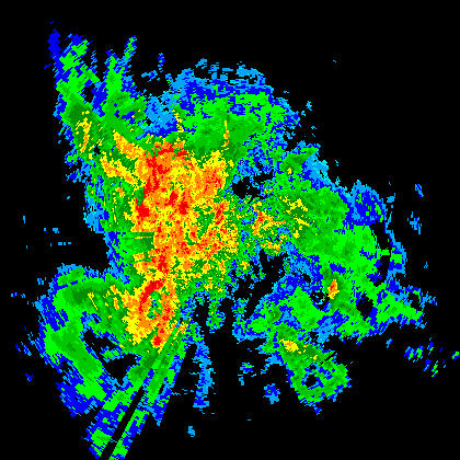
(The color scale is chosen to approximate that of the WATADS image on the
IT page)
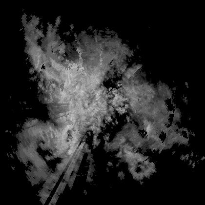
A pretty greyscale image can also be created:
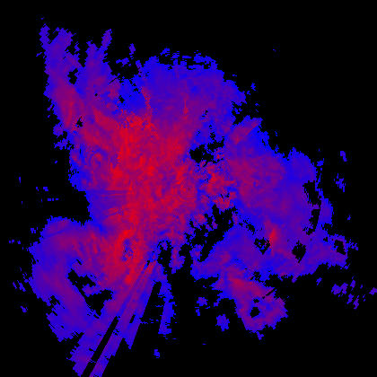
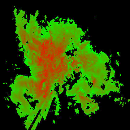
Here is the result from a pseudo-continuous 256 color red-blue and
green-blue scale (CODE):