An isolated supercell developed on the primary dryline in southcentral Kansas on this day. When this supercell crossed the eastern
dryline (into the higher theta-e airmass) the storm began to intensify and the base of the storm lowered. Even so, this supercell was inflow dominant
until a rear flank downdraft developed shortly after it crossed Interstate 35. After this, the storm immediately began to churn out one tornadic
circulation after the other. All said, my chase group and I saw 4 tornadoes including an F3 at Mulvane.
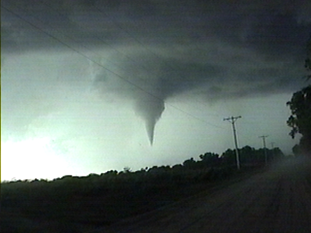
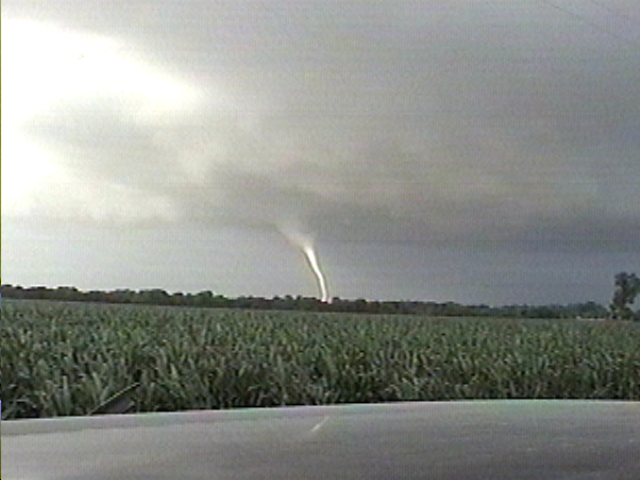
The first tornado near Belle Plaine, Kansas (just east of I-35).
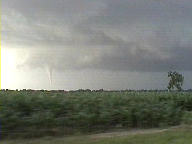
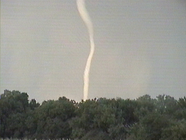
The now-famous Mulvane tornado as viewed from 5 miles southwest of that town.
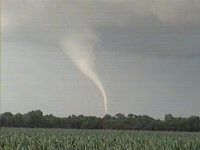
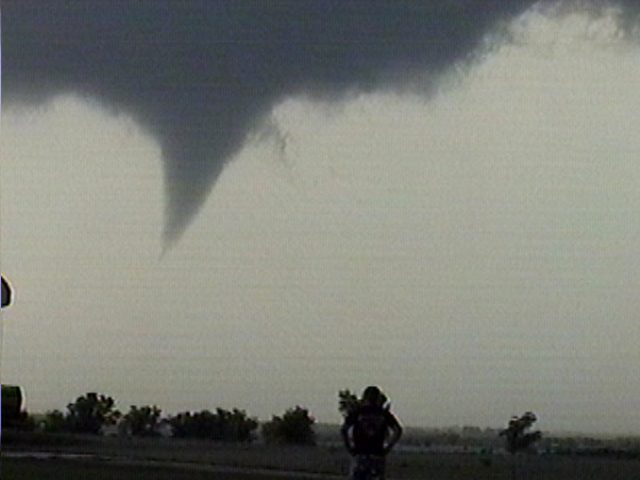
The photogenic Rock tornado.
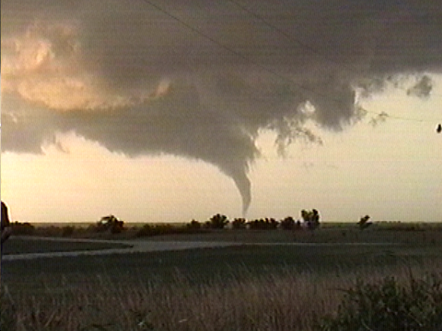
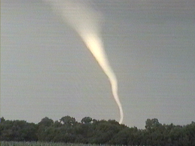
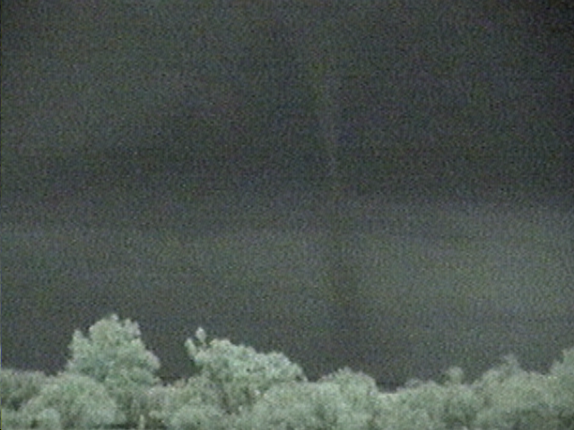
The Atlanta tornado that occurred well after sunset (camcorder was in "Night Mode").
All images copyrighted by Gabriel Garfield (2004).