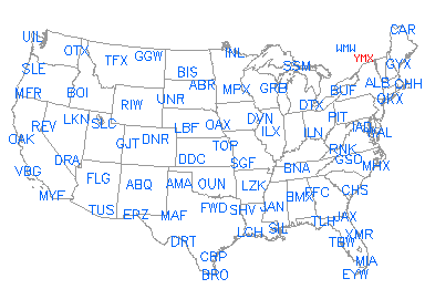
Low level composite
Mid level composite
Constant height charts (COD)
Lamont OK, Vici OK, Purcell OK, Morris OK,
Hillsboro KS, All 15Z/18Z soundings.
| MSP Sector | Via COD: MPX, DLH, MVX, ABR, FSD, OAX, DMX, ARX, GRB, MKX, DVN, LOT, ILX. |
| IRK Sector |
IRK sector: FSD-OAX-TWX-UEX-ICT-EAX-DMX-DVN-LOT-ILX-LSX-PAH RAP sector: GGW-BLX-MBX-BIS-MVX-UDX-ABR-FDR-RIW LBF sector: CYS-LNX-UEX-OAX-FSD-FTG-PUX-GLD-TWX-DDC DDC sector: FTG-PUX-DDC-GLD-TWX-ICT-FDX-AMA-LBB-FDR-VNX-TLX-INX MAF sector: FDX-ABX-HDX-EPZ-MAF-LBB-DYX-SJT-DFX-FDR-TLX-FWS-GRK-EWX NWS |
| Combined plot | ||||||||
| Thermo plot | MSP | IRK | RAP | LBF | DDC | MAF | ||
| Wind/ΔP plot | MSP | IRK | RAP | LBF | DDC | MAF | ||
Synoptic scale - synop models, synop sfc charts, synop ua charts, skew-ts, wind profs
Other info - SPC outlooks, other text products
| UCAR Soundings | UCAR Profilers |
|
Low level composite Mid level composite Constant height charts (COD) |
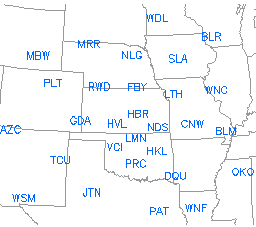
| COD Special soundings (as available):
Fort Sill OK, Lamont OK, Vici OK, Purcell OK, Morris OK, Hillsboro KS, All 15Z/18Z soundings. |
Clickable maps courtesy Greg Thompson, UCAR |
|
|
|
| KABR - Aberdeen, SD NWS, OU, Weathertap |
KDYX - Dyess AFB, TX NWS, OU, Weathertap |
KGRK - Gray AFB, TX NWS, OU, Weathertap |
KOAX - Omaha, NE NWS, OU, Weathertap |
| KABX - Albuquerque, NM NWS, OU, Weathertap |
KFDX - Cannon AFB, NM NWS, OU, Weathertap |
KHDX - Holloman AFB, NM NWS, OU, Weathertap |
KPUX - Pueblo, CO NWS, OU, Weathertap |
| KAMA - Amarillo, TX NWS, OU, Weathertap |
KFDR - Frederick, OK NWS, OU, Weathertap |
KICT - Wichita, KS NWS, OU, Weathertap |
KRIW - Riverton, WY NWS, OU, Weathertap |
| KBIS - Bismarck, ND NWS, OU, Weathertap |
KFSD - Sioux Falls, SD NWS, OU, Weathertap |
KINX - Inola/Tulsa, OK NWS, OU, Weathertap |
KSJT - San Angelo, TX NWS, OU, Weathertap |
| KBLX - Billings, MT NWS, OU, Weathertap |
KFTG - Front Range, CO NWS, OU, Weathertap |
KLBB - Lubbock, TX NWS, OU, Weathertap |
KTLX - Twin Lakes/OKC, OK NWS, OU, Weathertap |
| KCYS - Cheyenne, WY NWS, OU, Weathertap |
KFWS - Fort Worth, TX NWS, OU, Weathertap |
KLNX - Thedford, NE NWS, OU, Weathertap |
KTWX - Topeka, KS NWS, OU, Weathertap |
| KDDC - Dodge City, KS NWS, OU, Weathertap |
KGGW - Glasgow, MT NWS, OU, Weathertap |
KMAF - Midland, TX NWS, OU, Weathertap |
KUDX - Rapid City, SD NWS, OU, Weathertap |
| KDMX - Des Moines, IA NWS, OU, Weathertap |
KGLD - Goodland, KS NWS, OU, Weathertap |
KMBX - Minot AFB, ND NWS, OU, Weathertap |
KVNX - Vance AFB, OK NWS, OU, Weathertap |