Storm Chasing Pictures and Videos
Hold your cursor over the image for a caption.
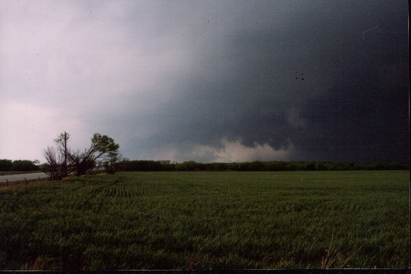
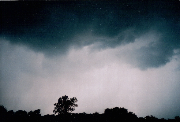
April 30, 2003
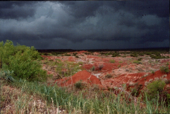
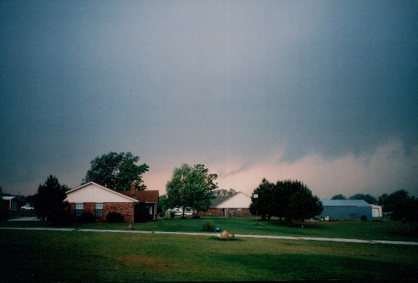
May 8, 2003
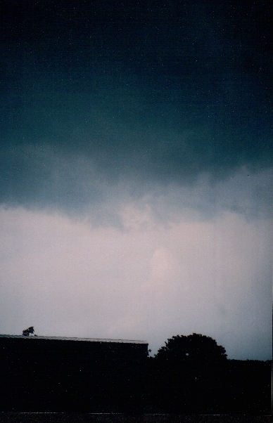
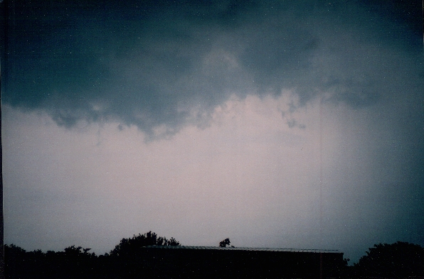
Captions and photos by Grandmother Maxwell at her residence on Hwy 37 and Sara Rd in Tuttle, OK.
All pictures were taken while wall cloud was overhead and tornado was imminent.
Tornado touchdown occurred approximately 3 miles to the East on Hwy 37.
May 9, 2003
Once again compliments of Grandmother Maxwell
More to come soon....stay tuned.
Home