Ft. Worth NWS Office Visit
On May 17, 2005 I visited the National Weather Service forecast office in Ft. Worth, TX to see firsthand the real-time operation of the Auto-nowcaster and the LDAR II. I met with Greg Patrick, the Science and Operations Officer at the office to go through some archived cases from the Auto-nowcaster, LDAR II data and their event simulator.
Entrance outside of the front of the Ft. Worth WFO
After looking through the data it appears that the April 5th squall line and April 25th supercell events that passed through the Dallas-Ft. Worth metroplex are the best cases to use for the Auto-nowcaster/total lightning research. The full suite of datasets should be archived in order to recreate the Auto-nowcast environment with the new total lightning predictor fields. Click here to view a detailed list of archived events since the Auto-nowcaster has been running operationally.
Information:
Summary of my visit (Word Document)
Archive of 2005 events from FWD (Link)
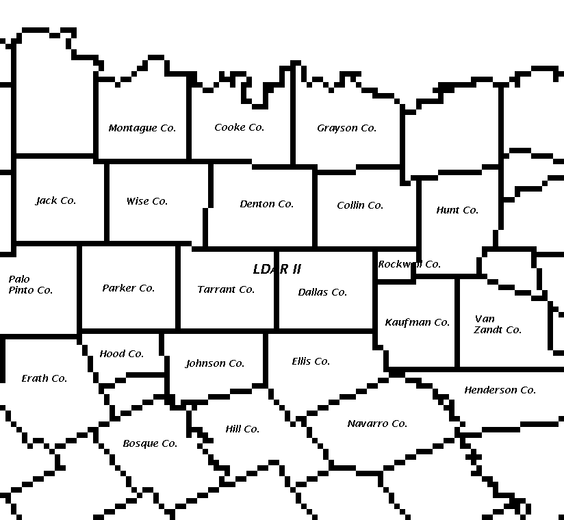
Map of Ft. Worth/Dallas area for reference (Image)
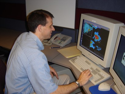
Greg Patrick looks at the 25 April 2005 LDAR II data on the event simulator
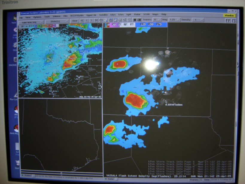
A screen shot of the 25 April 2005 event at 2114z as the Tarrant Co. supercell begins to enter Dallas Co. The total lightning information is very interesting with case as the three supercells evolve with time. Despite the smaller area of intense lightning activity, the southern cell had larger hail reports and was more impressive on radar.