Earl's New Model Skew-T
Page
SPC Soundings Page
OUN
Sounding - Unisys
Soundings - U of
Wyoming
Soundings - NCAR
NH 300 mb
Heights
250 mb
300 mb
500 mb
700 mb
850 mb
|
NH Water Vapor Loop
US Water Vapor Loop
US Visible Loop
US Infared Loop
Central Plains Visible Loop
South-Central Visible Loop
KS/OK GOES-12 Visible Still
UCAR Satellite Data
Visible by State - CoD
|
N. America Surface Analysis
N. America Current Wx
Southern
Plains Surface Obs
METAR Observations
Oklahoma Mesonet
Kansas Wx Roundup
Oklahoma Wx Roundup
3 Hr Pressure Change
SPC Hourly Mesoanalysis
Isentropic Analysis
|
NWS National
Radar
Radar by State - CoD
Central OK
Central OK Loop - NWS
Central OK Loop - KOCO 5
Wichita, KS Loop
- NWS
OK
1-hour Rainfall
US Lightning Strikes
|
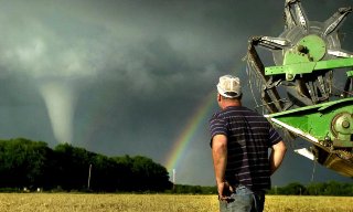 © The Wichita Eagle