Weather Briefing
Surface
Oklahoma Climatological Survey:
Oklahoma Mesonet
National Center for Atmospheric Research:
Southern Plains |
Northern Plains |
Texas |
Surface Home Page
Unisys Weather:
Station Plots and Fronts |
Station Plots and Satellite |
Temperatures |
Dew Points |
Wind Speeds |
Heat Index |
Wind Chill |
Moisture Convergence
Jim Southard:
Station Plot Image |
Station Plot Loop
Storm Prediction Center:
Composite Map
Contoured Plots (0Z and 12Z)
National Center for Atmospheric Research:
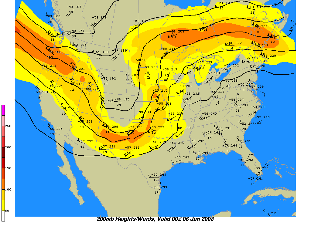
200mb Winds |
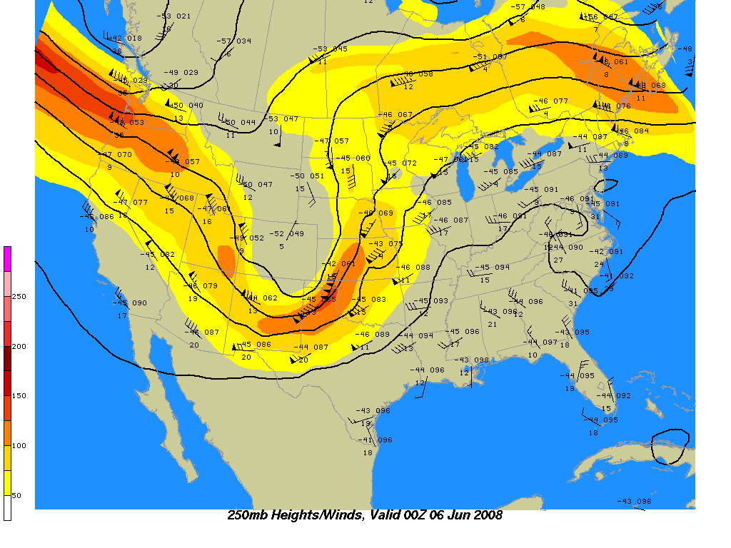
250mb Winds |
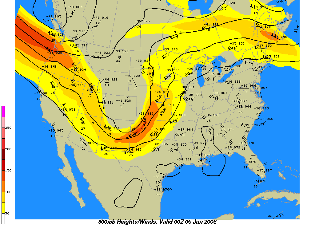
300mb Winds |
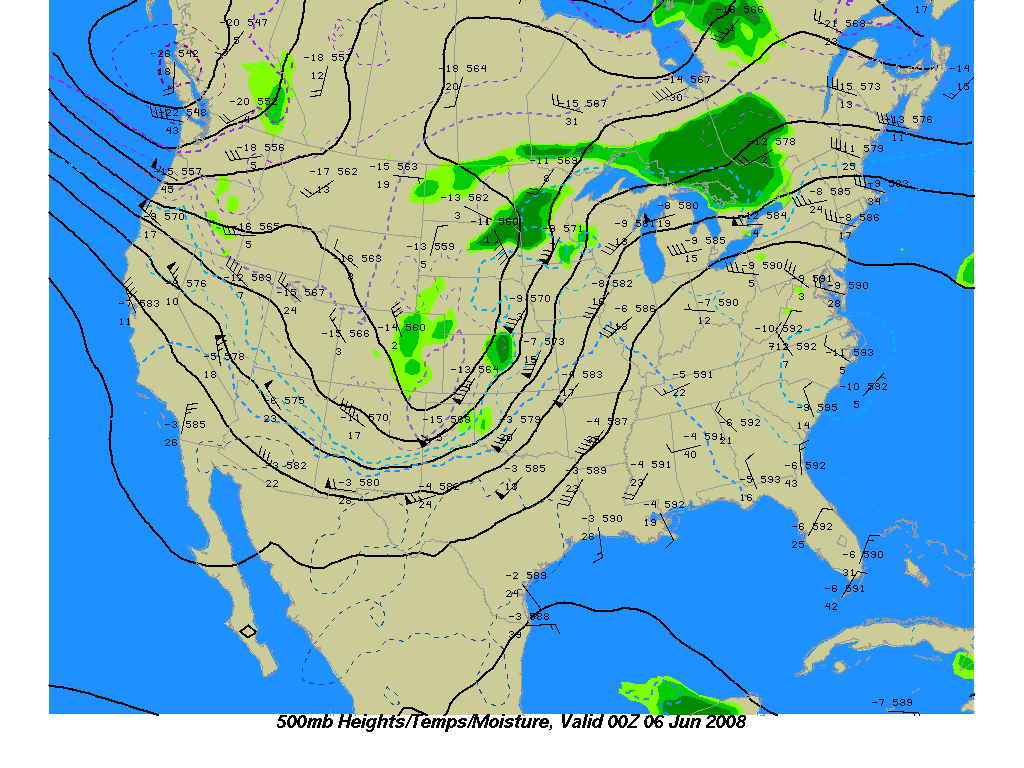
500mb Temps and Moisture |
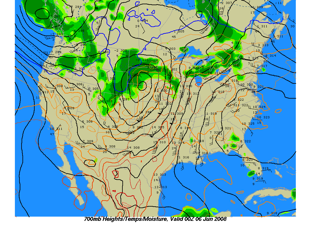
700mb Temps and Moisture |
850mb Temps and Moisture
Jim Southard:
200mb Winds |
250mb Winds |
300mb Winds |
500mb Winds |
500mb Temps and Moisture |
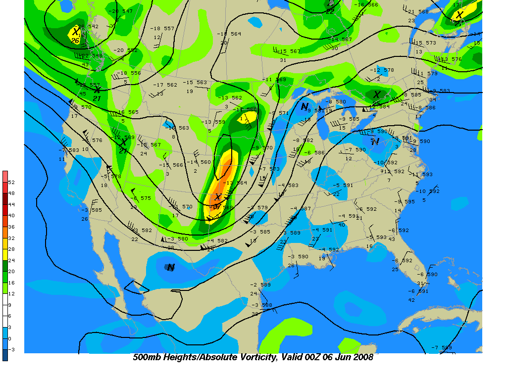
500mb Vorticity |
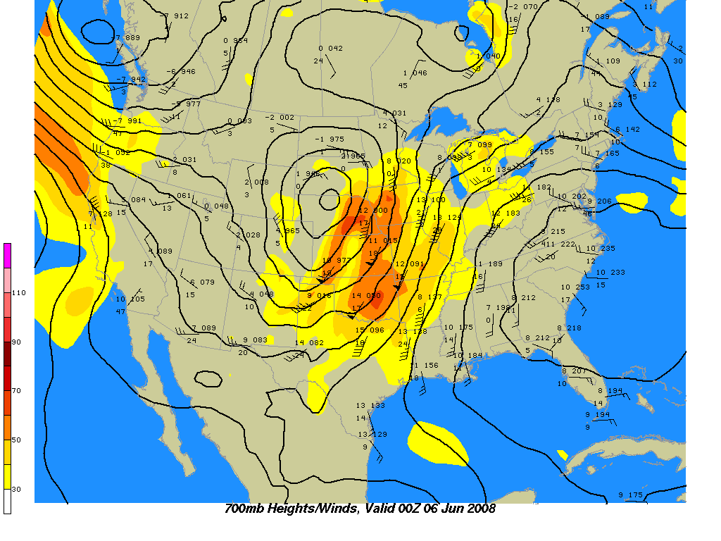
700mb Winds |
700mb Temps and Moisture |
850mb Winds |
850mb Temps and Moisture
GEMPAK Maps (Created Hourly)
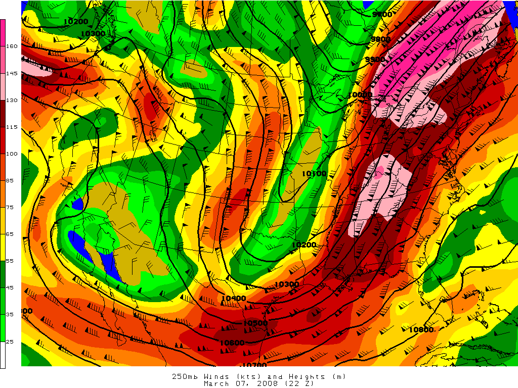
250mb:
Heights and Winds
500mb:
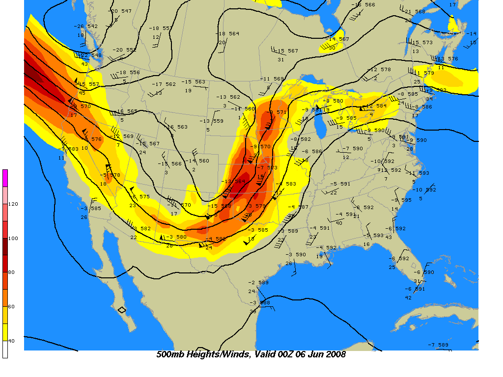
Heights and Winds |
Temperatures and Winds |
Relative Humidity
700mb:
Heights and Winds |
Temperatures and Winds |
Relative Humidity |
Theta-E and Winds
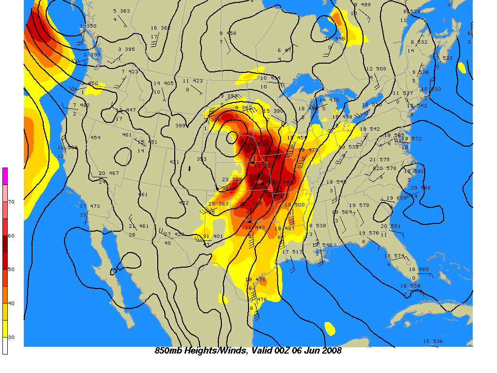
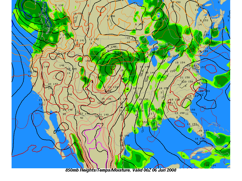
850mb:
Heights and Winds |
Temperatures and Winds |
Relative Humidity |
Theta-E and Winds
Soundings
National Center for Atmospheric Research:
Norman, OK |
Amarillo, TX |
Ft. Worth, TX |
Dodge City, KS |
Sounding Home Page
Unisys Weather:
Norman, OK |
Amarillo, TX |
Ft. Worth, TX |
Dodge City, KS |
Sounding Home Page
The Storm Machine:
Forecast Model Sounding
Earl's New Model Skew-T Web Page:
Forecast Model Sounding
NOAA Forecast Research Branch:
Forecast Model Sounding |
Clickable Map
University of Wyoming:
Sounding Archive
United States/Regional
National Weather Service:
United States Image |
United States Loop |
Southern Plains Image |
Southern Plains Loop |
Northern Plains Image |
Northern Plains Loop
National Center for Atmospheric Research:
United States Image |
United States Loop |
Radar Home
College of Dupage:
United States Map
Oklahoma
National Weather Service:
TLX Image |
TLX Loop |
VNX Image |
VNX Loop |
FDR Image |
FDR Loop |
INX Image |
INX Loop
National Center for Atmospheric Research:
TLX Image |
TLX Loop |
VNX Image |
VNX Loop |
FDR Image |
FDR Loop |
INX Image |
INX Loop
College of DuPage:
TLX |
VNX |
FDR |
INX
Texas
National Weather Service:
AMA Image |
AMA Loop |
LBB Image |
LBB Loop |
DYX Image |
DYX Loop |
FWS Image |
FWS Loop
National Center for Atmospheric Research:
AMA Image |
AMA Loop |
LBB Image |
LBB Loop |
DYX Image |
DYX Loop |
FWS Image |
FWS Loop
College of DuPage:
AMA |
LBB |
DYX |
FWS
Kansas
National Weather Service:
GLD Image |
GLD Loop |
DDC Image |
DDC Loop |
ICT Image |
ICT Loop |
TWX Image |
TWX Loop
National Center for Atmospheric Research:
GLD Image |
GLD Loop |
DDC Image |
DDC Loop |
ICT Image |
ICT Loop |
TWX Image |
TWX Loop
College of DuPage:
GLD |
DDC |
ICT |
TWX
Arkansas
National Weather Service:
SRX Image |
SRX Loop
National Center for Atmospheric Research:
SRX Image |
SRX Loop
Collge of Dupage:
SRX
Louisiana
National Weather Service:
SHV Image |
SHV Loop
National Center for Atmospheric Research:
SHV Image |
SHV
Loop
College of DuPage:
SHV
Visible
Aviation Digital Data Service:
United States Image |
United States Loop |
Southern Plains Image |
Southern Plains Loop |
Northern Plains Image |
Northern Plains Loop
National Center for Atmospheric Research:
United States Image |
Satellite Home Page
CIRA ARM Sector:
South Central United States
College of DuPage:
1km High Resolution
Infrared
Aviation Digital Data Service:
United States Image |
United States Loop |
Southern Plains Image |
Southern Plains Loop |
Northern Plains Image |
Northern Plains Loop
National Center for Atmospheric Research:
United States Image |
Satellite Home Page
Water Vapor
Aviation Digital Data Service:
United States Image |
United States Loop
National Center for Atmospheric Research:
United States Image |
Satellite Home Page
Oklahoma
Norman:
Area Forecast Discussion |
Climate Report |
Hazardous Weather Outlook |
Severe Weather Statement |
Short Term Forecast |
Special Weather Statement
Tulsa:
Area Forecast Discussion |
Climate Report |
Hazardous Weather Outlook |
Severe Weather Statement |
Short Term Forecast |
Special Weather Statement
Texas
Amarillo:
Area Forecast Discussion |
Climate Report |
Hazardous Weather Outlook |
Severe Weather Statement |
Short Term Forecast |
Special Weather Statement
Lubbock:
Area Forecast Discussion |
Climate Report |
Hazardous Weather Outlook |
Severe Weather Statement |
Short Term Forecast |
Special Weather Statement
San Angelo:
Area Forecast Discussion |
Climate Report |
Hazardous Weather Outlook |
Severe Weather Statement |
Short Term Forecast |
Special Weather Statement
Ft. Worth:
Area Forecast Discussion |
Climate Report |
Hazardous Weather Outlook |
Severe Weather Statement |
Short Term Forecast |
Special Weather Statement
Kansas
Dodge City:
Area Forecast Discussion |
Climate Report |
Hazardous Weather Outlook |
Severe Weather Statement |
Short Term Forecast |
Special Weather Statement
Wichita:
Area Forecast Discussion |
Climate Report |
Hazardous Weather Outlook |
Severe Weather Statement |
Short Term Forecast |
Special Weather Statement
Topeka:
Area Forecast Discussion |
Climate Report |
Hazardous Weather Outlook |
Severe Weather Statement |
Short Term Forecast |
Special Weather Statement
RUC
HOOT/OWL:
Heights and Winds |
Heights and Temperatures |
Surface Features |
Severe Weather Indicies
Others:
National Center for Atmospheric Research |
College of DuPage |
Unisys Weather
ETA/NAM
HOOT/OWL:
Heights and Winds |
Heights and Temperatures |
500mb Vorticity |
Surface Pressure and Precipitation |
Theta-E |
Severe Weather Indicies
Others:
National Center for Atmospheric Research |
College of DuPage |
Unisys Weather
GFS
Others:
National Center for Atmospheric Research |
College of Dupage |
NCEP (240 Hour)
WRF
National Centers for Environmental Protection:
NCEP 4.5km
MOS Output
National Weather Service:
Oklahoma |
Texas |
Kansas |
All States
Hydrometeorological Prediction Center
Surface Fronts:
Today |
+12 Hours |
+24 Hours |
+36 Hours |
+48 Hours |
+3 Days |
+4 Days |
+5 Days |
+6 Days
QPF:
Day 1 |
Day 2 |
Day 3 |
Days 4-5 (0Z Run) |
Days 4-5 (12Z Run) |
5-Day Total (0Z Run) |
5-Day Total (12Z Run)
Storm Prediction Center
Convective Outlooks:
Day 1 |
Day 2 |
Day 3 |
Days 4-8
Other Links:
Current Watch Boxes |
Current Watches/Warnings/Advisories (Counties) |
Mesoscale Discussions |
Hourly Mesoscale Analysis |
Today's Storm Reports |
Home Page
Severe Weather Indicators
GEMPAK:
CAPE |
CIN |
Lifted Index |
K Index |
SWEAT Index |
Total Totals Index
NWS, Springfield:
Severe Weather Checklist
Buoy Data
National Data Buoy Center:
Western Gulf |
Eastern Gulf
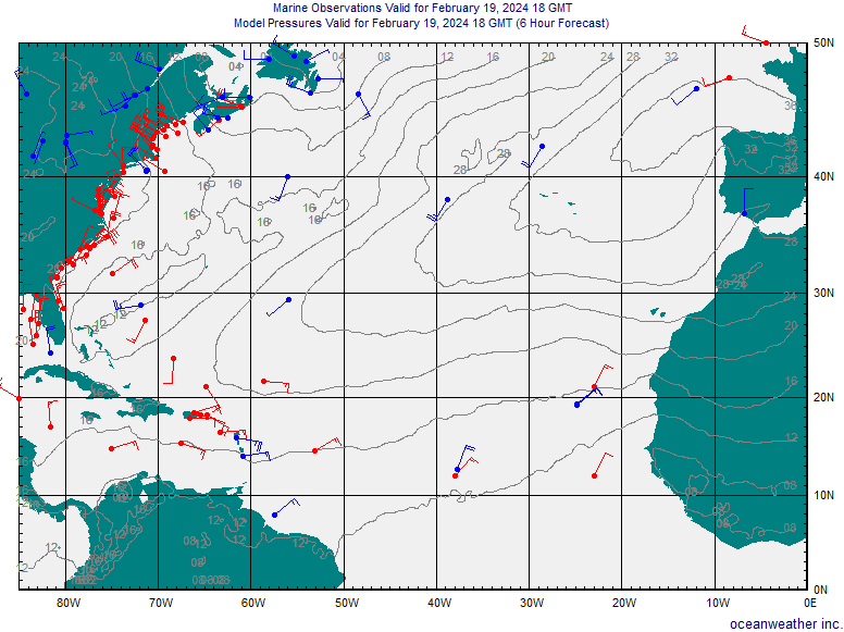
Surface Winds and Pressure
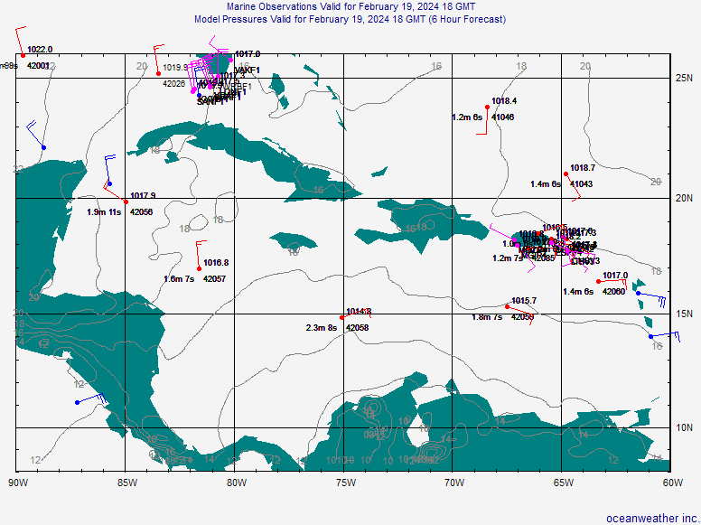
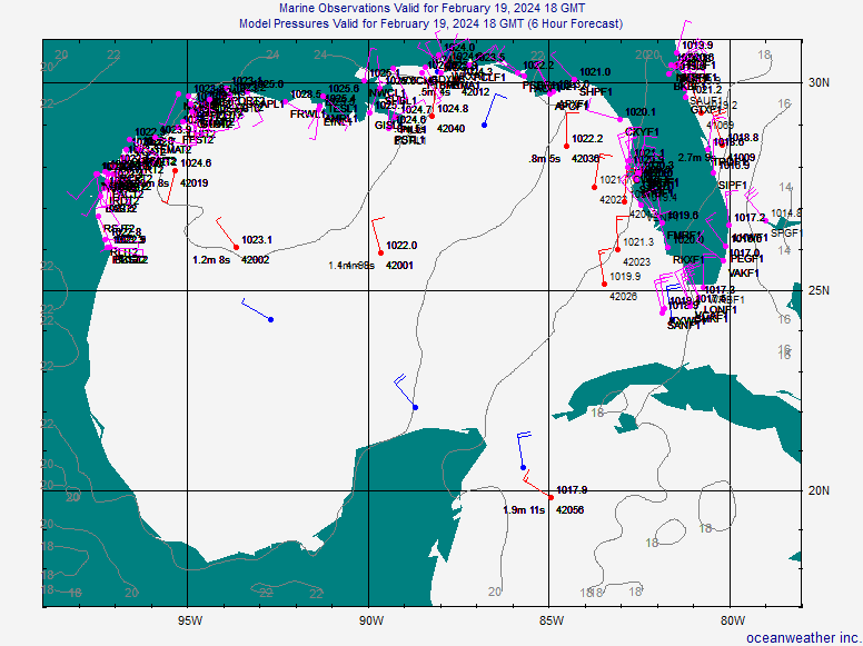
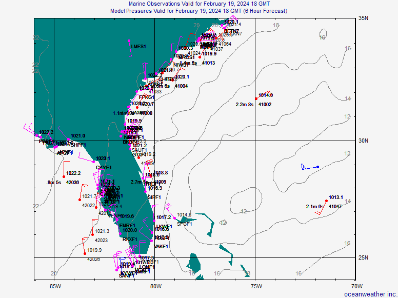
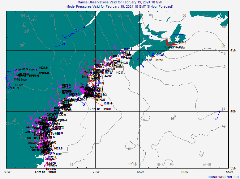
Oceanweather:
Atlantic Ocean |
Caribbean Sea |
Gulf of Mexico |
SE United States |
NE United States
Weather Research Center:
Atlantic Ocean |
Caribbean Sea |
Gulf of Mexico
Sea Surface Temperatures
Satellite Services Division:
Atlantic Ocean Image |
Atlantic Ocean Loop |
Pacific Ocean Image |
Pacific Ocean Loop
Office of Satellite Data Processing & Distribution:
North Atlantic |
South Atlantic |
Gulf of Mexico
Satellite Imagery
Eastern Atlantic Ocean:
Visible Image |
Visible Loop |
IR Image |
IR Loop |
Enhanced IR Image |
Enhanced IR Loop |
Enhanced RGB Image |
Enhanced RGB Loop |
Water Vapor Image |
Water Vapor Loop
Central Atlantic Ocean:
Visible Image |
Visible Loop |
IR Image |
IR Loop |
Enhanced RGB Image |
Enhanced RGB Loop |
Water Vapor Image |
Water Vapor Loop
Western Atlantic Ocean:
Visible Image |
Visible Loop |
IR Image |
IR Loop |
Enhanced IR Image |
Enhanced IR Loop |
Enhanced RGB Image |
Enhanced RGB Loop |
Water Vapor Image |
Water Vapor Loop
Caribbean Sea:
Visible Image |
Visible Loop |
IR Image |
IR Loop |
Enhanced RGB Image |
Enhanced RGB Loop |
Water Vapor Image |
Water Vapor Loop
Gulf of Mexico:
Visible Image |
Visible Loop |
IR Image |
IR Loop |
Enhanced RGB Image |
Enhanced RGB Loop |
Water Vapor Image |
Water Vapor Loop
GOES Floater 1:
Visible Image |
Visible Loop |
IR Image |
IR Loop |
Enhanced RGB Image |
Enhanced RGB Loop |
Water Vapor Image |
Water Vapor Loop
GOES Floater 2:
Visible Image |
Visible Loop |
IR Image |
IR Loop |
Enhanced RGB Image |
Enhanced RGB Loop |
Water Vapor Image |
Water Vapor Loop
Other
National Hurricane Center:
Home Page |
Tropical Weather Discussion |
Tropical Weather Outlook
In Alphabetical Order...
Air Quality:
United States Air Quality Outlook |
United States Ozone Levels
Allergies:
United States Overall Pollen |
United States Grass Pollen |
United States Tree Pollen |
United States Ragweed |
Oklahoma Allergy Report
Climate Prediction Center:
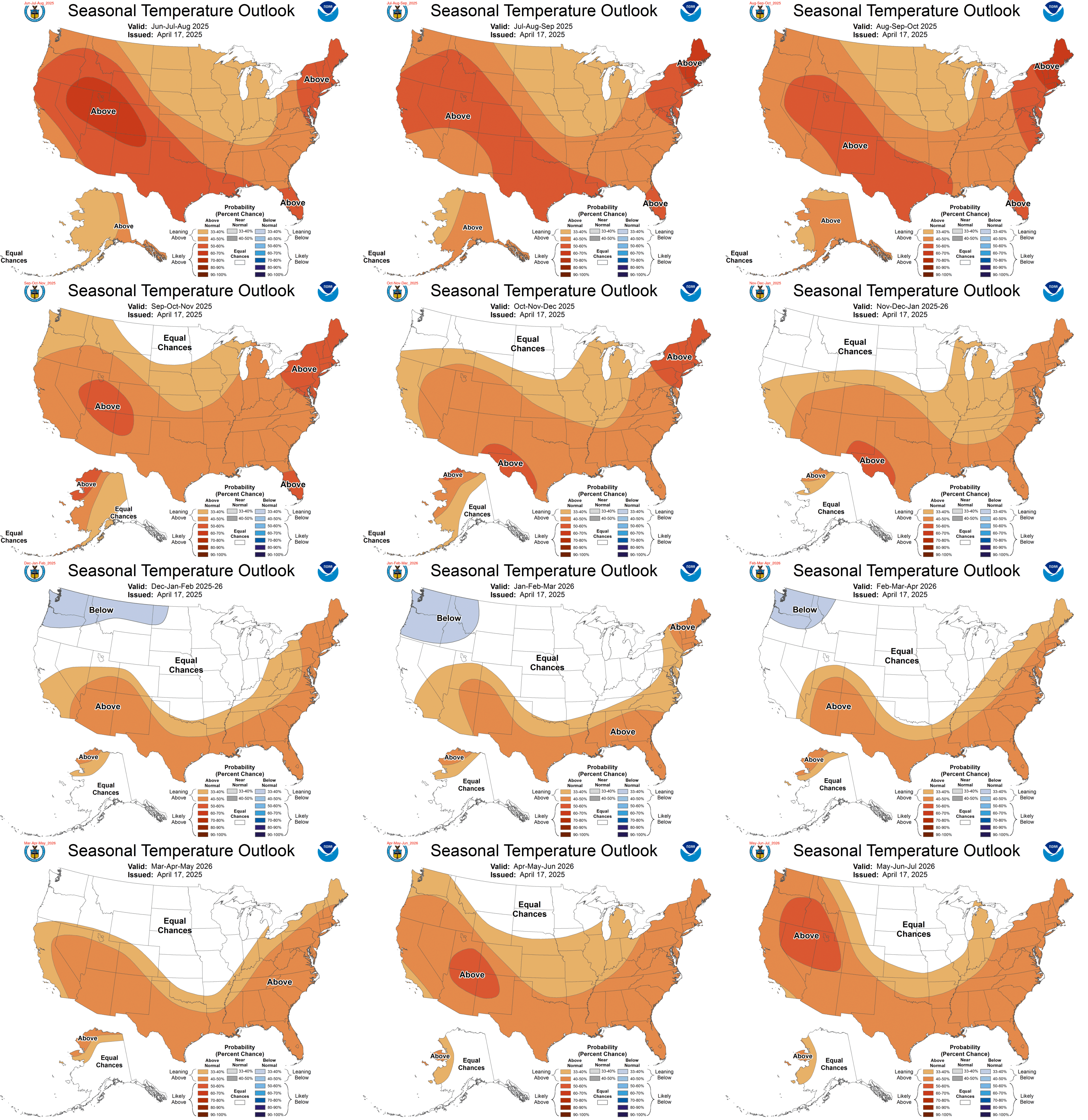
Current Month Temperature Outlook |
Long-Range Temperature Outlook |
Current Month Precipitation Outlook |
Long-Range Precipitation Outlook |
Hazards Assessment
County Maps:
Oklahoma |
Texas |
Kansas
Drought Conditions:
United States Drought Monitor |
Seasonal Outlook
KOCO:
Weather Blog
NWS Offices, Oklahoma:
Norman |
Tulsa
NWS Offices, Texas:
Amarillo |
Lubbock |
San Angelo |
Ft. Worth
NWS Offices, Kansas:
Dodge City |
Wichita |
Topeka
UV Index:
UV Index
Weather Calculator:
Weather Calculator