 |
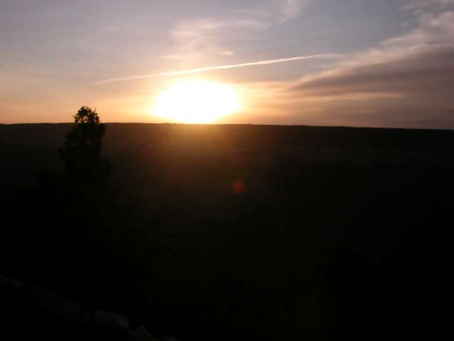
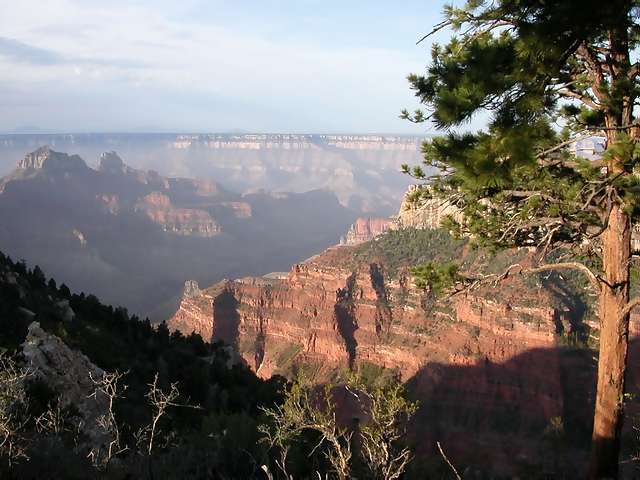
Sunrise over the Grand Canyon! |
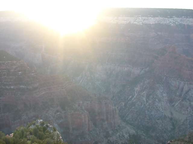 |
More sun-rising over the Grand Canyon. |
 |
The canyon itself at sunrise. |
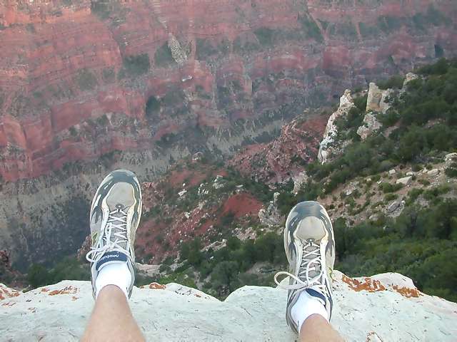 |
Yep ... heights and me are rapidly fading away! This actually isn't a trail ... at Bright Angel Point, they have guard rails and paved trails. This rock is about 20 feet tall and forms one of the "guardrails". But it's so inviting to climb up and get a view from the pinnacle! |
 |
Back along the trail to the campsite, I found an awesome spot to sit and have a quiet time. |
 |
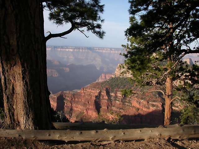
Another view from my quiet time spot. Remember, this is from the North Rim, so you're looking south. |
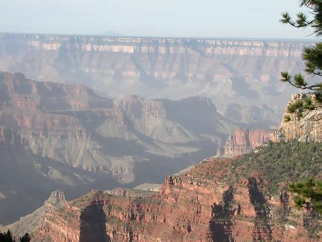 |
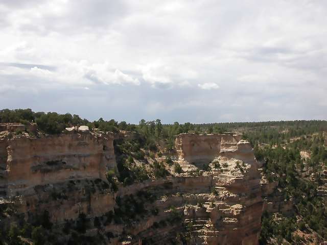
Another GC view. |
 |
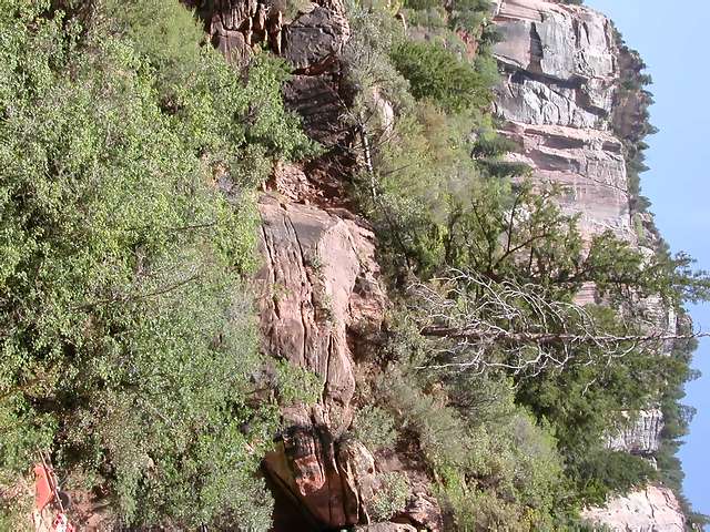
Andy and I did a hike (the Kaibab trail) down into the Canyon. We only had about 3 hours for this hike, so we went as far as the Supai Tunnel. This shot is only a few hundred feet into our descent into the canyon. |
 |
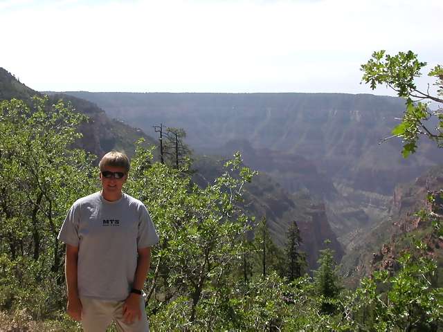
Halfway into our descent, we reached the Coconino (like "El-Nino", but with Coco in front) Overlook. If you look over Andy's right shoulder (on the left side of the pic) -- that's where we're headed ... well, that's where the trail goes; we didn't go nearly that far down into the canyon. |
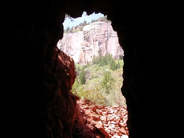 |
Yea! The Supai Tunnel, and a much welcome break. Hiking down is really a challenge, especially when the trail is hot, dusty, steep, rocky, and full of mule crap/piss. The tunnel was a natural fan, as wind channeled through here to cool us off. |
 |
Once again, nature defies gravity in our country's national parks. These trees and bushes are growing sideways! |
 |
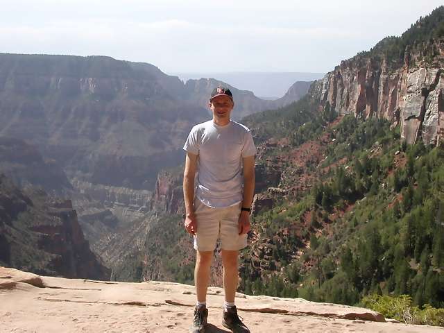
Wow ... we made it! And even more remarkably, it took us LESS time to climb back out than it did to climb down. |
 |
View from our lunch spot. |
 |
Another view from where we ate lunch. We didn't see any "dont feed the squirrels" signs, and it showed: those guys were so fat and slow it was sad! |
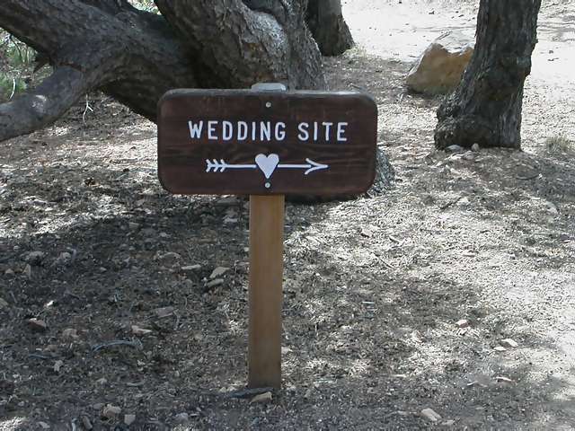 |
Could you imagine getting married out here!?! |
 |
This is the view from the wedding spot! |
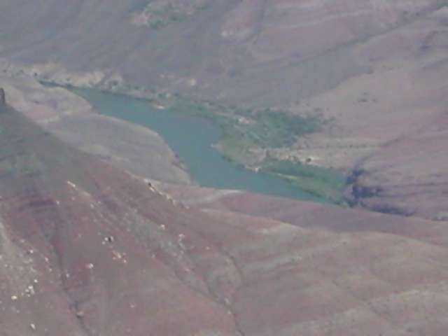 |
Aha! The culprit for all this scenery ... that piddly river down there. |
 |
The carved formations are just increcdible; pictures do not do them justice. |
 |
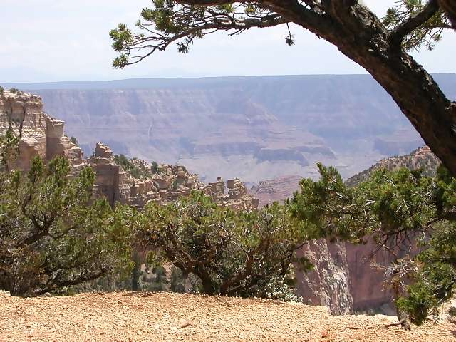
This is a pic from Cape Royal, rumored to be the best overlook spot of the North Rim. The lunch & wedding spot pics are also from this area. |
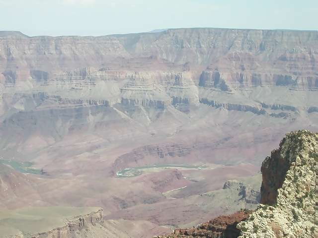 |
Another shot of the Colorado river. |
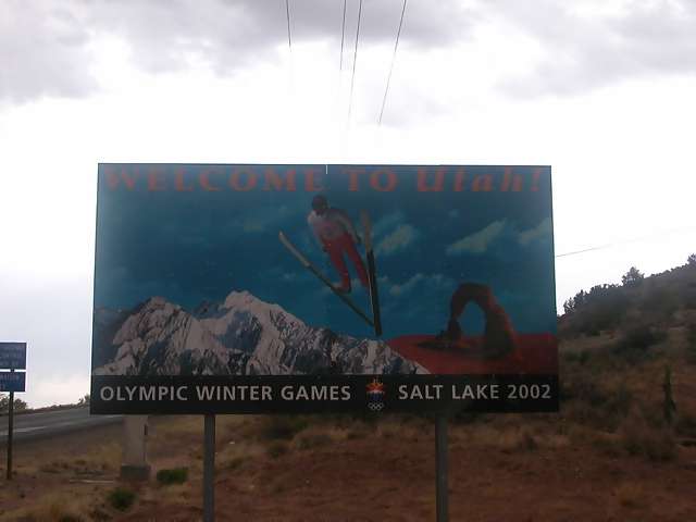 |
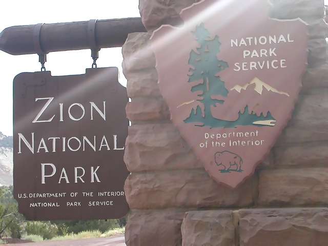
I just can't seem to resolve these Utah state signs! |
 |
MY FAVORITE PIC OF THE ENTIRE TRIP! Notice the crepscular rays. I have not doctored this shot at all; there's a tree next to the picture and the suns rays are filtering through on their own. |
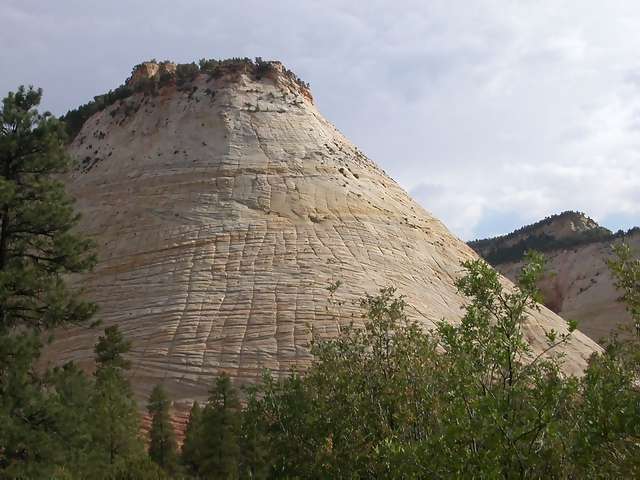 |
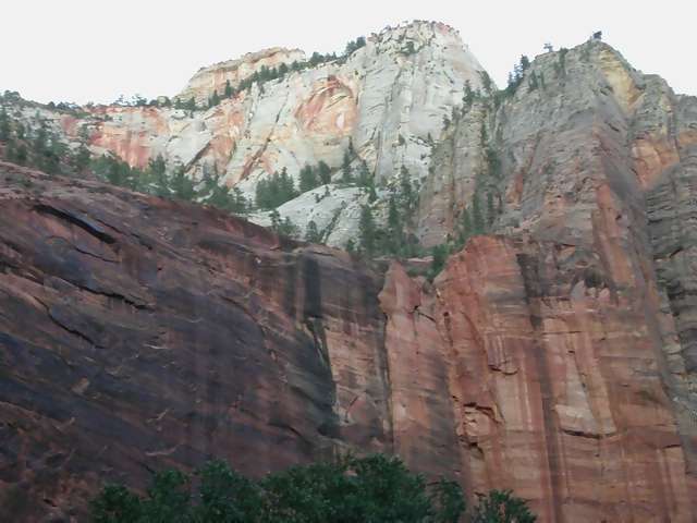
Zion NP is full of many different types of rock formations. |
 |
This folding type of rock is neat, eh? |
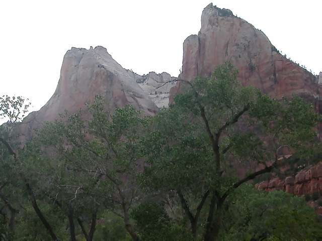 |
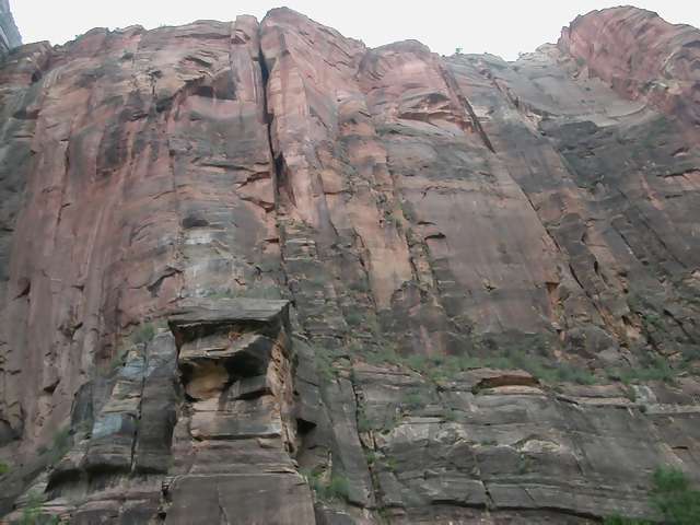
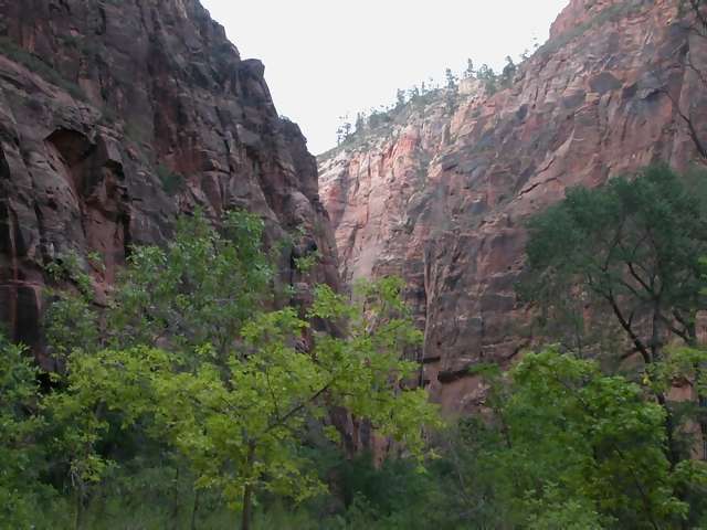
At Zion, visitors are at the bottom of the canyon looking up (which is different from the Grand Canyon and Bryce). Still provides for awesome views. |
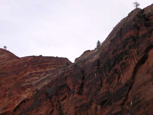 |
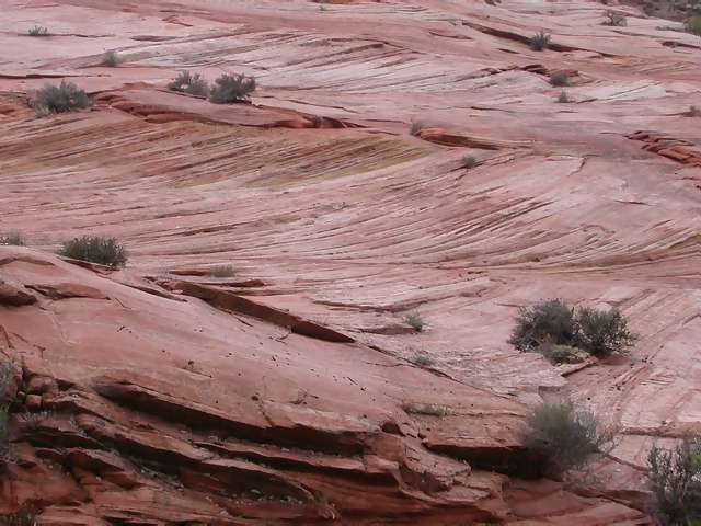
More red rock of Zion. |
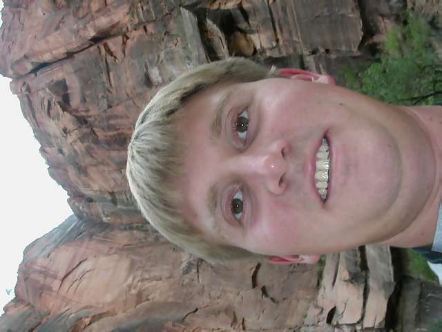 |
Me goofing off w/the camera. You can't tell very well, but those rocks behind me are between 700 and 1000 feet above where I'm standing! |
 |
Zion really does have incredible rock formations. |
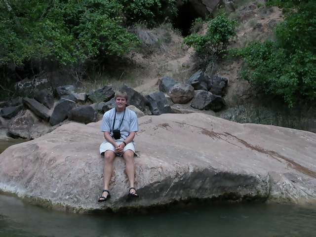 |
I had to get in the Virgin river! |
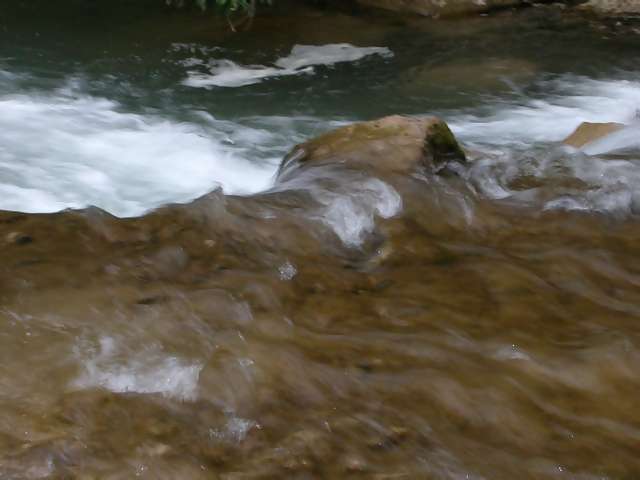 |
My camera didn't do well to resolve these rapids ... they're actually quite shallow and refreshing to walk through. |
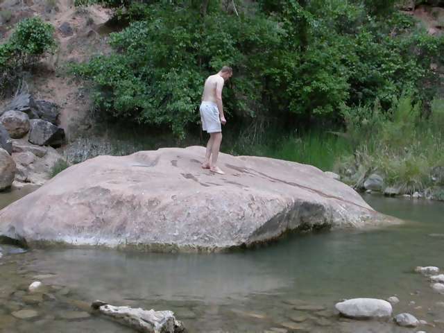 |
Andy did more than just get in the river! (he hadn't had a shower in 48 hrs or something, and used the cool water to rinse off the red dust we brought back with us from the N. Kaibab trail at the Grand Canyon. |
 |
Zion at sunset. |
 |
I took this picture through the sunroof of the tour bus that takes visitors through the heart of the park. |