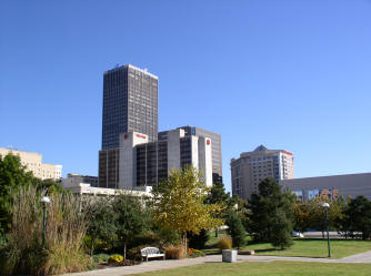
Documentation of
building structure
in downtown Oklahoma City
School of Meteorology, University of Oklahoma, Norman, OK
phone: (405) 325 1631
email pkklein@ou.edu
Map of downtown OKC (includes names of buildings):
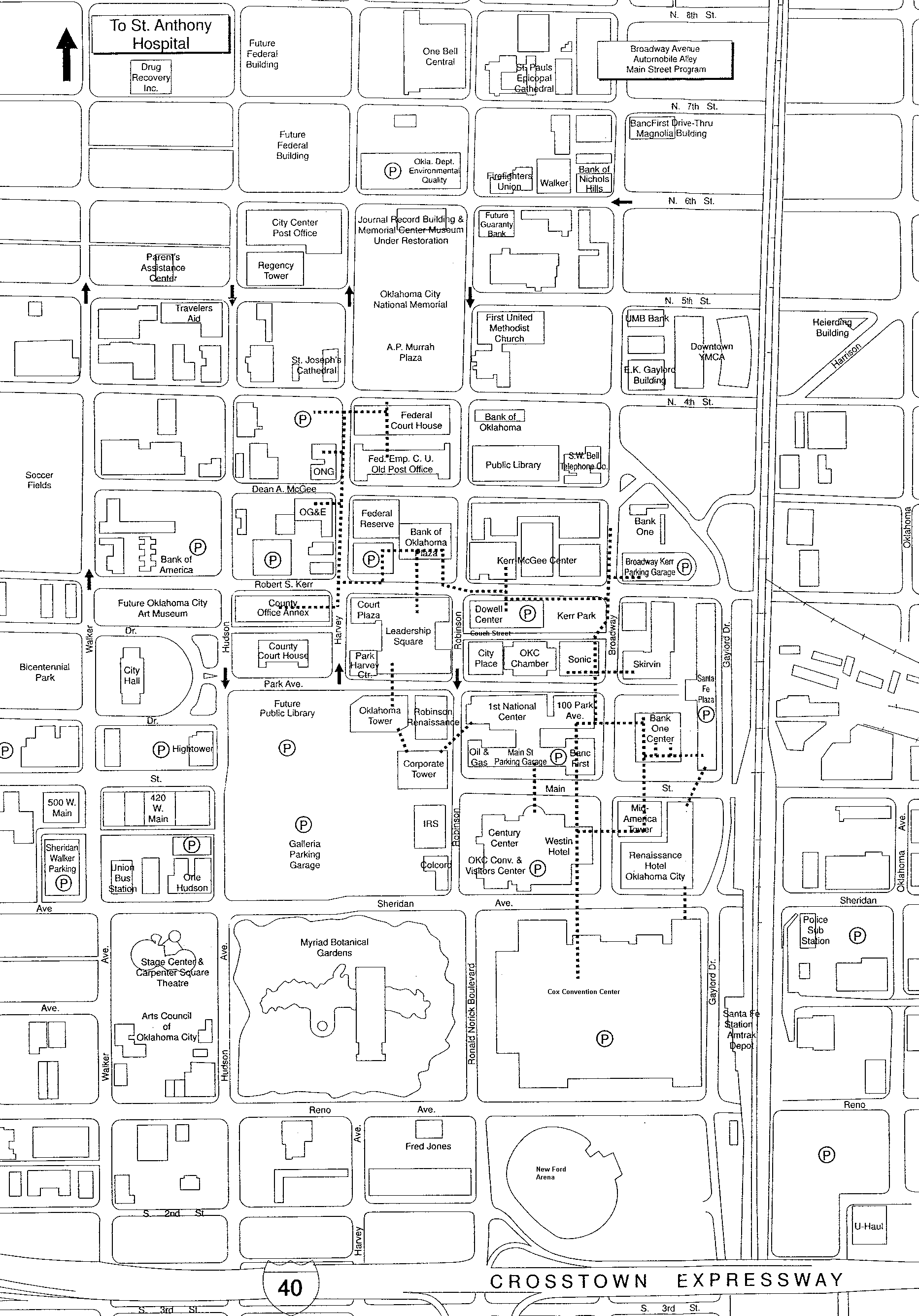 click on image to get map
see also:
Documentation of Laser-Range-Finder Measurements
Photogallery:
Presently the full size pictures are not available, but the picture thumbnails can be seen!
![]() Photos taken from the crossing
Park Avenue - Robinson Street
Photos taken from the crossing
Park Avenue - Robinson Street
![]() Photos taken from the crossing Park Avenue - Broadway
Avenue
Photos taken from the crossing Park Avenue - Broadway
Avenue
![]() Panorama around Santa Fe/Bank
One Plaza
Panorama around Santa Fe/Bank
One Plaza
![]() Photos taken from top of the Santa Fe Plaza Parking
Garage
Photos taken from top of the Santa Fe Plaza Parking
Garage
![]() Photos taken along Sheridan Avenue near Cox Convention
Center
Photos taken along Sheridan Avenue near Cox Convention
Center
![]() Photos taken along Robinson Street between Sheridan
and Park Avenue
Photos taken along Robinson Street between Sheridan
and Park Avenue
![]() Photos taken on the roof of 100 Park Avenue
Photos taken on the roof of 100 Park Avenue
![]() Photos taken on the roof/balconies/annex of City
Place
Photos taken on the roof/balconies/annex of City
Place
![]() Photos taken on the roof of the annex of the 1
Nat. Center
Photos taken on the roof of the annex of the 1
Nat. Center
![]() Photos of the south side of the Cox Convention
Center and new Ford Arena
Photos of the south side of the Cox Convention
Center and new Ford Arena
![]() Photos of Myriad Botanical Gardens
Photos of Myriad Botanical Gardens
![]() Photos taken at Sheridan Ave. between Ronal Norick
Boulevard and Hudson Ave.
Photos taken at Sheridan Ave. between Ronal Norick
Boulevard and Hudson Ave.
![]() Photos taken at Galleria Parking Garage
Photos taken at Galleria Parking Garage
![]() Photos of Skybridges near Corporate Tower
Photos of Skybridges near Corporate Tower
![]() Views of building facades along Robinson Avenue
Views of building facades along Robinson Avenue
![]() Images of Kerr-Mc Gee Center and Kerr Park
Images of Kerr-Mc Gee Center and Kerr Park
![]() Photos taken along Dean A. Mc Gee Avenue
Photos taken along Dean A. Mc Gee Avenue
![]() Photos taken along Harvey
Avenue
Photos taken along Harvey
Avenue
back to homepage of Petra Kastner-Klein
last modified 01/14/2003